Emerging opportunities and reasons to invest in GIS technology.
Whenever there is a severe snowstorm, flood, typhoon, fire, earthquake or other natural disaster anywhere in the world, government agencies and emergency services need to send a range of rescue vehicles and personnel to respond to and resolve the emergency situation.
With increasingly sophisticated GIS software, citizens will have the ability to see where the emergency resources are, when they will be nearby, how many vehicles and personnel are in the area, where safe zones and evacuations zones are, where dangerous zones are and much more.
Citizens will also have the ability to look at photos submitted by other uses to see road conditions (in event of flood, earthquake etc), building conditions (in event of earthquake fire etc).
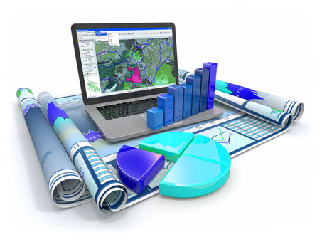
The secret behind the success and power of GIS is all simply based around easy to view and analyze location based data.
GIS (Geographical information systems), has been one of the major success stories in government technology. Through the 1980’s and 90’s GIS was essential for city operations, development plans, tracking roads, sewer repairs, and the management of natural resources and other assets.
With the rise of the internet, open data and mobile technology, GIS has been transformed from a technology to aid internal government operations into one that supports a new generation of customer services. Not too long ago, it use to only be large cities with the biggest IT budgets that could afford GIS, and have been the leaders in terms of new location-based services that use the wealth of geo-coded data in public-sector servers.
However, in recent times GIS has become cheaper and faster, opening up opportunities for smaller jurisdictions, whilst providing new options for cloud-based solutions that can be accessed by smartphones and tablets in real time. Open data has helped expand the way the public can access and use geographic information. A key reason GIS has become so embedded in local government is that, by some estimates, nearly 80 percent of all city information is address-based, making the technology extremely useful. GIS has gone from being a niche system favored by a select few city departments to one that’s used by everyone, including management.
Cities have always used GIS to plan development. But now, some have opened up their GIS assets so that the public can use location data to help new businesses get started or expand existing ones.
GIS is still a powerful tool for internal operations, but now it can incorporate some of the latest tech trends.
Cities have also turned to GIS to passively engage citizens in terms of improving services and infrastructure.
For digital cities, collecting location information about everything from potholes to pollution hot spots or rat infestations has become standard operating procedure. And GIS makes that happen. At the same time, when location data is analyzed by asking the right questions, it provides public officials and policymakers with insights for better decision-making. The wealth of geo-data has really empowered cities, and when used strategically, it can help cities make better decisions while reducing costs.
If there’s a concern with GIS, it’s around privacy. Cities need to have proper policies in place if they want to leverage the power of location without violating citizens’ privacy. GIS also has a lingering reputation as a hard technology to use, but when done correctly — and city governments have had years of experience learning how to use GIS — it’s a powerful platform for improving how cities can work, both internally and externally.
-Business Mapper Team